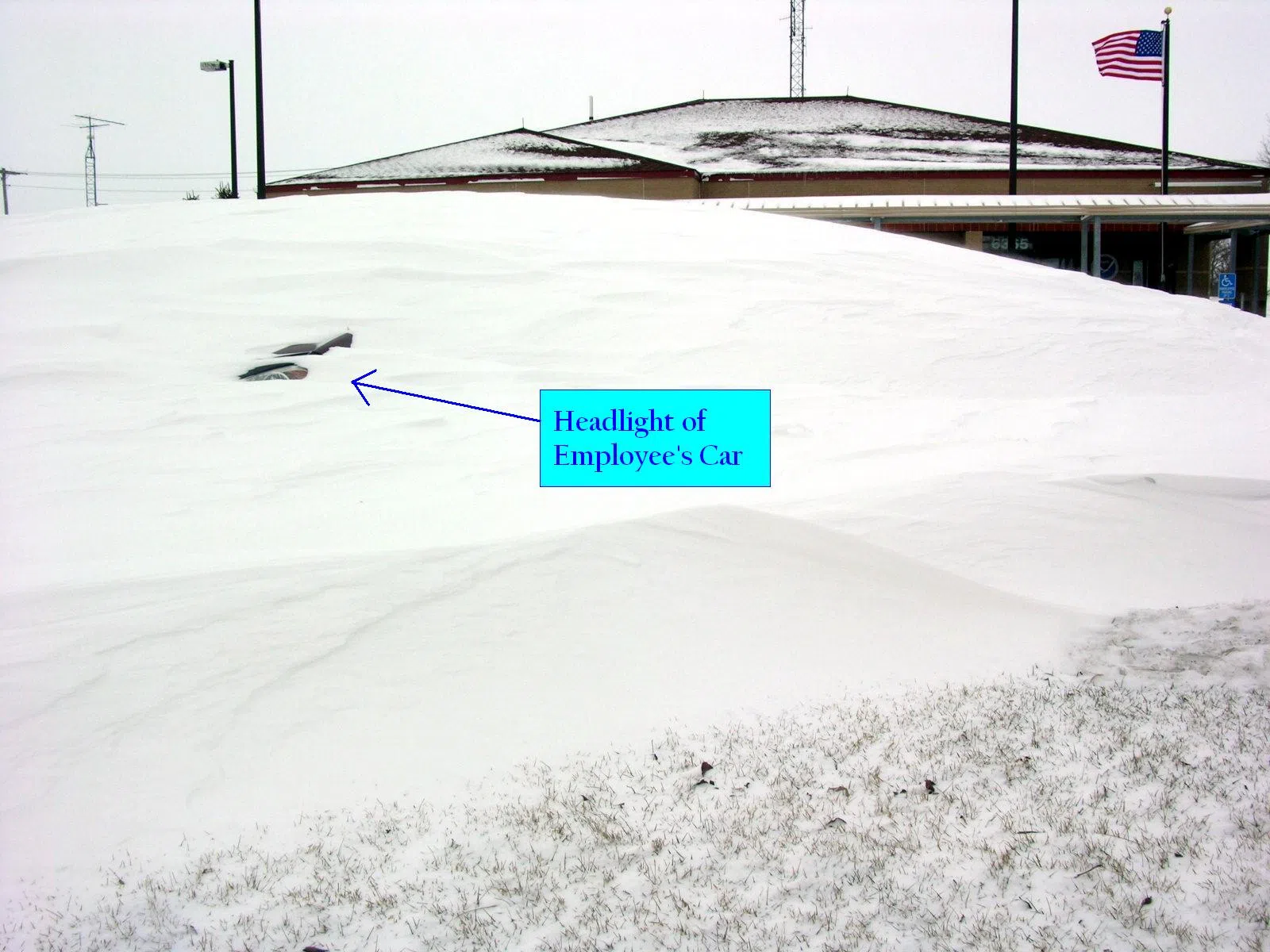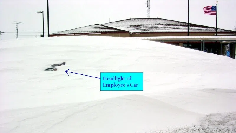
A snow drift buries a NWS Hastings employee's vehicle after the 2009 blizzard, (NWS Hastings, Courtesy)
HASTINGS — The Christmas Blizzard of 2009 will be one blizzard which won’t soon be forgotten and will draw memories of raging blizzards of years past.
For 18 to 24 hours, a large part of south central Nebraska and extreme northern Kansas was blasted with 30 to 60 mph winds, visibilities less than half mile and frequent “white-out” conditions. Winds dropped off dramatically by dawn Saturday, December 26th, although still gusted to 35 mph.
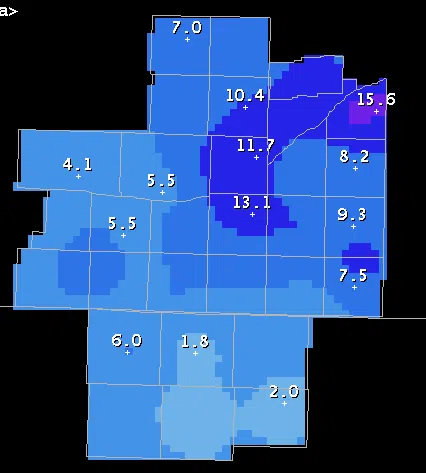
A total of 7.8 inches of snow fell at the Central Nebraska Regional Airport at Grand Island on Christmas Day. That broke the previous record of 3.0 inches of snow set back in 1941. So, Christmas 2009 goes down as the “snowiest” Christmas on record for Grand Island.
The snow melted down to 0.51 inches of water, which was also a new record. The old record for liquid precipitation was 0.20 inches in 1941.
Hastings joined the record club as well, and measured 9.2 inches of the National Weather Service Office north of town. That broke the previous record of 9.0 inches of snow back in 1945. A total of 0.58″ of liquid equivalent precipitation was measured. However, that was not enough to break a record.
Of course, its the wind that makes a blizzard, not the snow. The strongest winds occurred during the daylight hours on Christmas Day and into the early evening. Sustained winds were near 40 mph at times with gusts to 60 mph. Here is a look at the strongest winds recorded with the storm:
Christmas Day Wind Gusts
- Hastings Airport 58 mph
- Aurora Airport 57 mph
- Grand Island Airport 54 mph
- Ord Airport 53 mph
- Holdrege Airport 51 mph
- Lexington Airport 50 mph
- Kearney Airport 46 mph


