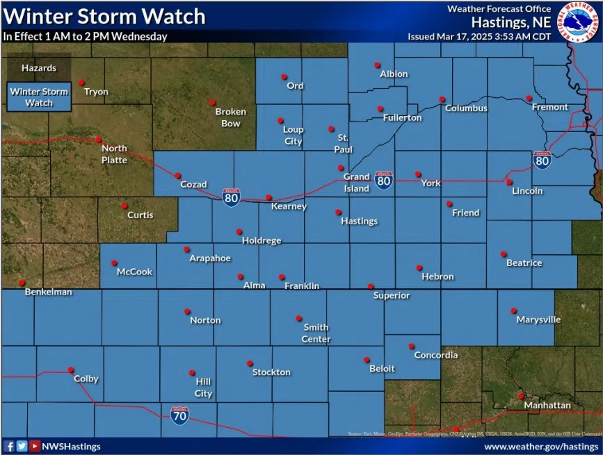
Winter Storm Watch issued for Wednesday, March 19, (NWS Hastings, Courtesy)
HASTINGS — A Winter Storm Watch has been issued for much of central Nebraska for the early morning of Wednesday, March 19, through the early afternoon.
According to the National Weather Service – Hastings, the watch is set to start at 1 a.m. and will be in effect until 2 p.m.
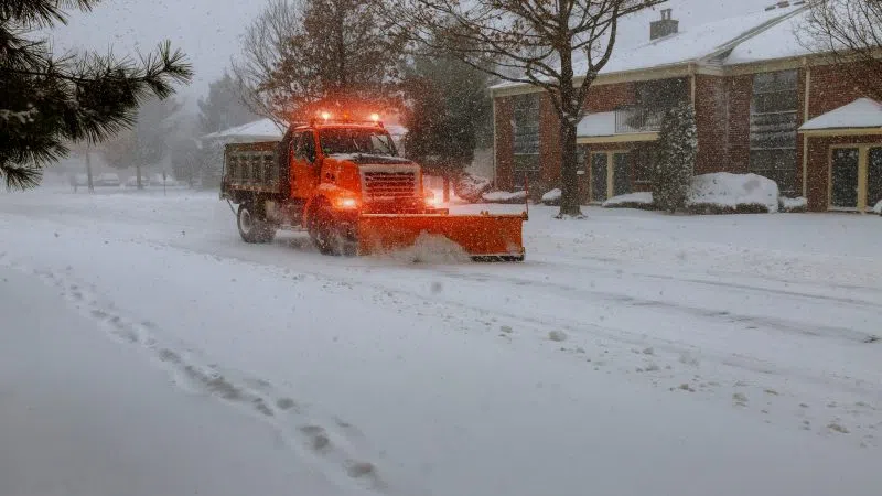
Rain will begin falling in the far western counties of the NWS Hastings warning area between 4 p.m. and 7 p.m. and it will quickly spread east. The transition from rain to snow is expected to take place just prior to midnight for most areas as surging cold air will quickly drop temperatures after sunset close to below freezing.
There will be around two and three inches across much of the area with an increase to four inches or higher in the eastern and northeastern parts of the forecast area.
Models have been hinting at stronger forcing mechanisms including the stronger cold air advection behind the system which will allow for more efficient snow production.
One limitation when it comes to snow amounts is that the relatively warm ground could limit snow accumulation at the onset.
There is a concern strong winds on Wednesday could cause blowing snow impacts with the morning commute. The strongest winds will peak in the afternoon with the end of snow accumulation around noon.
Key an eye on the forecast for any changes that are made as the storm system approaches for Tuesday night into Wednesday.