KEARNEY — The quick hitting blizzard on Wednesday, March 19 brought around 4-6 inches of snow and wind gusts up to 70 mph across the Tri-Cities area.
The blizzard was the result of a “powerful” upper-level area of low pressure that dropped to as low as 987 millibars, according to the Storm Prediction Center.
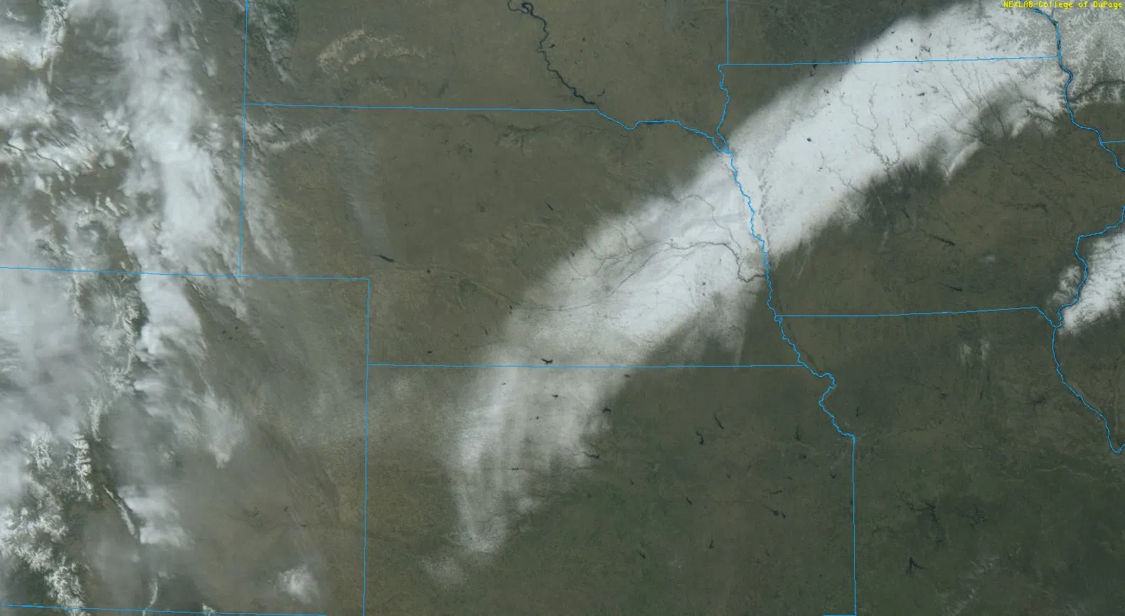
Initial precipitation was in the form of rain but quickly changed over to snow in the early morning hours of Wednesday.
The highest snow amounts were off to the east, with Waco receiving 12 inches and 10.1 inches three miles north of York, according to the National Weather Service – Hastings.
Locally, the NWS Hastings Office reported 6.7 inches, 5.5 inches two miles northeast of Kearney and 4.8 inches at the Grand Island Airport
Due to the strong pressure gradient created by the upper-level cyclone, strong to severe non-thunderstorm wind gusts were generated.
Some of the highest measurements include 72 mph, six miles southeast of Kearney, 71 mph at the Hastings Airport, 66 mph at the Grand Island and Holdrege Airports, 65 mph four miles west of Kearney, 64 mph at Gothenburg.
With the higher moisture content, snow proved to be wet and heavy and when combined with the strong winds, blizzard conditions were achieved across central Nebraska during the morning and afternoon hours of Wednesday.
These conditions resulted in numerous downed powerlines, damaged poles and a myriad of power outages.
The Nebraska Public Power District reported that at the peak of the blizzard, 11,000 of their customers were without power. It was noted the whiteout conditions created “very hazardous” conditions for the lineman who had to travel over snow covered roads or get up in bucket trucks, per NPPD.
Some areas were without power overnight as crews from multiple power districts worked to get the electricity flowing again.
As the whiteout conditions impacted the region, law enforcement agencies asked for residents to even avoid traveling within town due to the severity of weather conditions.
Multiple roadways and highways were closed, including Interstate 80, which at one point was closed from North Platte to Lincoln.
Troopers with the Nebraska State Patrol responded to around 500 weather related incidents across the state on Wednesday. These included 448 motorists assists and 27 crashes, troopers also assisted other agencies with 32 responses.
“Two troopers’ patrol vehicles were also struck while responding to incidents in the blizzard. One cruiser suffered significant damage and the other suffered minor damage. Neither trooper, nor other drivers, were injured in these incidents,” per the NSP.
Drier conditions are expected for the remainder of the week, the next chance for precipitation will be Saturday night and early Sunday morning, according to NWS Hastings.