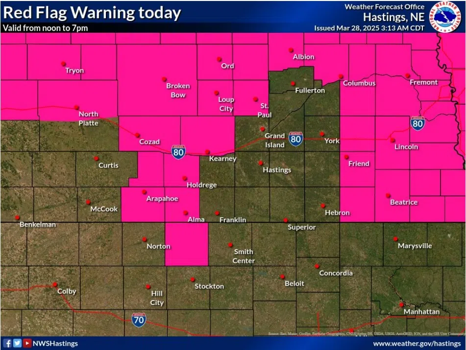
Red Flag Warning in effect for Friday, March 28, (NWS Hastings, Courtesy)
KEARNEY — A Red Flag Waring has been issued for a corridor of central Nebraska counties for Friday, March 28. Later in the evening there is a marginal risk for severe weather.
The Red Flag Warning will be in effect from 12 p.m. to 7 p.m. for stronger winds, low relative humidity and unseasonably warmer temperatures, according to the National Weather Service – Hastings.
The counites in the warning include Valley, Greeley, Sherman, Howard, Dawson, Buffalo, Gosper, Phelps, Furnas and Harlan.
Winds will be out of the south-southwest at 15 to 25 mph, with some gusts up to 25 to 25 mph. Relative humidity will fall to 12 to 25 percent.
“Within portions of mainly Dawson, Gosper and Furnas counties, wind gusts may fail to reach or will eventually drop below 25 mph this afternoon, but relative humidity will still be critically low,” per NWS Hastings.
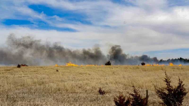
A Red Flag Warning means that critical fire weather conditions are either occurring now or will shortly. A combination of strong winds, low relative humidity, and warm temperatures can contribute to extreme fire behavior.
Later in the evening, much of south central Nebraska is under a Marginal Risk, one out of five, for severe weather this evening from the 7 p.m. to 2 a.m. time frame.
Any storms that form ahead of a surface front will be higher based in nature, but marginal instability and sufficient deep layer wind shear could produce a few instances of quarter sized hail. This looks to be widely scattered activity.
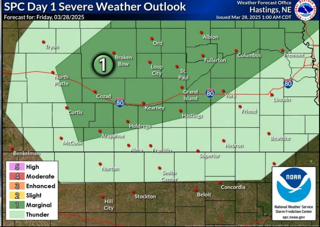
Marginal Risk for severe weather for the evening of Friday, March 28, (NWS Hastings, Courtesy)