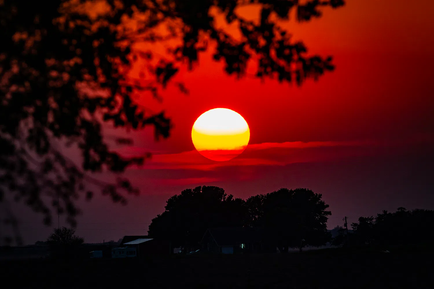
Sunset viewed in Buffalo County, (Brian Neben, Central Nebraska Today)
HASTINGS — After the healthy dose of precipitation last week, dry conditions are expected, and a gradual warming trend will bring heat index values into the 100s by the weekend.
According to the National Weather Service – Hastings, no to little precipitation is expected for their forecast area over the next seven days. Additionally, temperatures will gradually warm each day and night over the course of the week.
Temperatures and heat index values of 100s degrees or over are expected to return to portions of the area starting on Friday. The hottest day will be Sunday, with widespread heat index values of 100 to 105 degrees.
Breaking down each day, Tuesday will see south central Nebraska on the backside of an upper-level trough of low pressure and winds will remain light with sunny skies.
Temperatures will be warming on Wednesday, with highs in the mid-80s to mid-90s expected. Overnight temperatures will be in the upper 50s to mid-60s.
The upper-level trough moves further east and an upper-level ridge of high pressure to the west will begin to exercise more influence over the region.
“The upper ridge to the west will impact the area more heading into Friday and the weekend. Winds Friday through Sunday will generally be out of the south each afternoon with mostly sunny to sunny skies,” NWS Hastings stated.
High temperatures on Friday will range from the upper 80s to just over 100 degrees. Temperatures will continue to warm each day, Sunday will see highs from the mid-90s to around 105 degrees.
“Widespread heat index values of 100 to 105 degrees are expected on Saturday across north central Kansas with portions of south-central Nebraska experiencing heat index values of 100 to 103 degrees. Heat index values of around 100 to 105 degrees will become a little more widespread on Sunday across south central and central Nebraska,” per NWS Hastings.