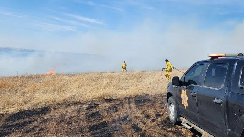
This location is 5.5 miles southwest of Lawrence, looking southwest. The tornado passed half mile east of the Schroeder residence, (Courtesy of Robert Schroeder)
HASTINGS — On March 13, 1990, an early season outbreak of tornadoes ripped across the interior United States.
A total of 59 tornado touchdowns impacted the states of Iowa, Kansas, Missouri, Nebraska, Oklahoma and Texas. Of the 59 tornadoes, 44 of the tornadoes occurred in Nebraska and Kansas.
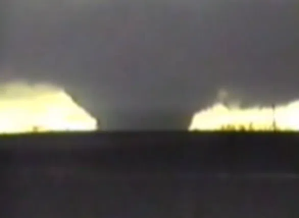
The more well-known tornadoes include the Hesston, Kan., F5 tornado, and the Lawrence F4 tornado.
Since 1880, only one other March tornado event seems to compare in intensity to March 13, 1990: The “Easter Sunday” tornado outbreak on March 23, 1913.
Several tornadoes devastated the Omaha area on that fateful day. 103 people were killed, including 94 in Omaha. At least 600 homes were destroyed in Omaha and another 1,100 damaged. There were no less than four F4 tornadoes reported.
Meteorologically, several ingredients need to come together to for weather conditions to be conducive for tornado development.
On March 13, 1990, a strong surface low pressure was located in north central Kansas. The low pulled unseasonably warm and most air north into the south central Nebraska and north central Kansas.
Surface dewpoint temperatures rose to above 60 degrees in eastern Nebraska while surface temperatures topped 70 degrees in northern Kansas. A surface dryline, or push of dry air from the west southwest, bulged into north central Kansas, and was part of the spark to ignite the explosive instability in place.
Typical of strong March weather systems, while central and eastern Nebraska and Kansas were impacted by severe weather, the Nebraska panhandle experienced heavy snow, ice and wintry weather conditions.
Some areas of the Nebraska panhandle measured up to 8 inches of snow. Blizzard-like conditions were reported.
Facts about the “Lawrence Tornado”:
- 124 mile path from 3 miles south of Red Cloud to 3 miles east of Schuyler.
- Total of nine injuries. No fatalities occurred.
- Rated an F4 on the original Fujita Scale. Winds estimated between 207 mph and 260 mph.
- Estimated width of 1200 feet, or about quarter of a mile.
- In Webster County, seven farms damaged. One farm was “wiped out”.
- In Nuckolls County, 53 homes damaged in Lawrence, included eight which were destroyed. Eight more farmsteads were hit in rural areas.
- In Clay County, one business was destroyed, 11 were damaged, 20 farms were hit and 49 homes were damaged in Sutton.
In Fillmore County, power lines and trees were damaged in the extreme northwest corner of the county. - In York County, about a dozen farms were hit. One farm house 4 miles west of McCool Junction was destroyed. Near Waco, 57 train cars were derailed. The roof was torn from a motel at the Interstate 80 interchange south of York. An estimated 10,000 geese were killed by the storm.